Green House in High Street

This green-painted building bearing a multi-coloured coat-of-arms is at 28-30 High Street and is on the corner of High Street and Watergate. Pevsner describes this building as late 18th century. He considered it possible that much of the embellishment of the façade might be attributed to early 19th century. (Griffith, J. Perth And Kinross, After Pevsner 2001 p619).

0 Comments

Perth Harbours

On Tay Street just south of Queen's Bridge and opposite the Sherriff Court is Panel 1 of the Medieval Trail which explains how Perth has been a ‘Perfect Location’ since at least medieval times. This replaced an earlier information board entitled 'Harbours of Perth' also pictured. In Medieval times the harbour was approximately where the aptly named Quayside Court housing complex now stands. The channel corresponds to where Canal Street now runs.

0 Comments

Bridges of Perth – Tay Street plaques

A modern notice board on Tay Street outlines the history of the Bridges of Perth. It is Panel 3 of the Perth Medieval Trail entitled Crossing the Tay and replaces an earlier board (also pictured). A little further south along Tay Street is another board (Panel 2) entitled Soggy Feet which explains changes in the ground level of Tay Street over history. 

0 Comments

Bridges of Perth – North Inch plaques

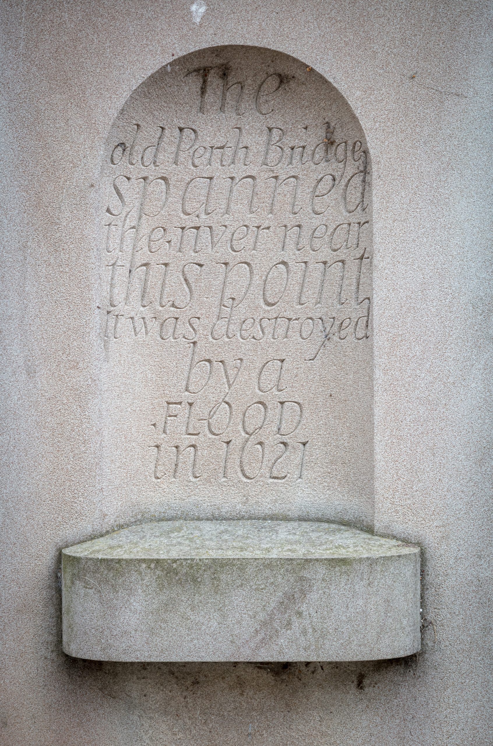
At the gateway to the Memorial Garden, on the North Inch, there are two plaques, one on each side of the entrance. The left -hand side shows present Perth Bridge, the right-hand side shows the Old Perth Bridge. By comparison the new bridge has fewer arches each of which is higher and wider than in the Old Bridge. The Old Bridge being lower and the arches narrower it is clear there was a greater possibility of debris brought down by the river in flood could form a dam, which would cause the bridge to collapse.

0 Comments

Perth Bridge

A plaque on the bridge itself at its western end states that the building of Perth Bridge was started in 1766, following a proposal tabled in 1760, by the 9th Earl of Kinnoull in his capacity as Lord Provost William Stewart. John Smeaton an accomplished architect was appointed. Smeaton had built a varied number of projects including harbours and lighthouses such as the Eddystone Lighthouse. The bridge is often called Smeaton's Bridge. The bridge opened in 1771. In 1869 pavements were added, outside the main supports of the bridge. On the north side of the westmost pillar are flood level marks dating back to 1814.

0 Comments

Datestone at corner of George Street and High Street

This marks the date of the construction of the building as1774. George Street was first conceived in 1769. The Street opened in 1771 to provide access from the new Perth Bridge to the High Street. Although the street is one of the architecturally most interesting in Perth, this particular building was not considered worthy of special comment in Griffith’s review. (Griffith, J.  Perth And Kinross, After Pevsner 2001 p619)

0 Comments

Town House of Lord John Murray in North Port

A plaque on this building (now 15-19 North Port) claims this the site of Lord John Murray’s Town House, occupied by him from 1758 - 1787. It is now the headquarters of the Royal Scottish Geographical Society. An earlier information board (now replaced by Panel 4 of the Medieval Trail) gave more information and reported that it was actually the stable block for the town house. Some modern histories suggest the building may in fact have been an arcade of shops at one time. Lord John Murray was the second son of Duke of Atholl and brother of Lord George Murray who was the general of Bonnie Prince Charlie’s army.  John Murray was serving in the British army in Europe at the time of the “45” and therefore was not involved in the uprising. He was MP for Perthshire from 1734 - 1761 and was appointed General of H M Forces in 1770.

0 Comments

Fleshers Guild building in South Street

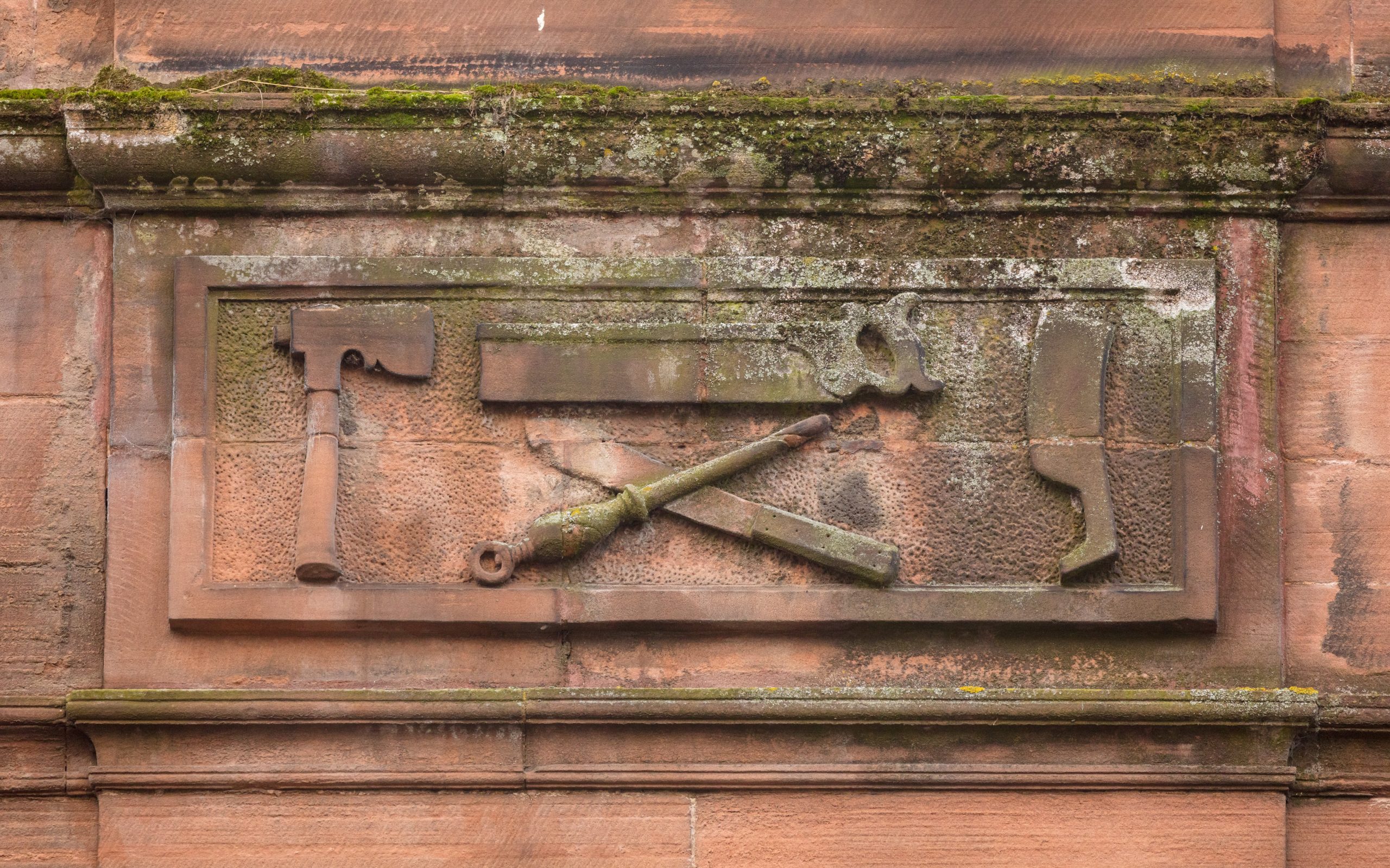
This Fleshers Guild sign is on a building in South Street (on its south side facing Fleshers’ Vennel). The Fleshers Guild erected the building in 1889 and used the hall until the 1920’s. The building replaced the Flesher’s Incorporation abattoir which previously stood on the site. This area of the South street had since Medieval times been the part of Perth used by the Fleshers both to slaughter animals and to sell meat in the market. (Perth, Street by Street, Paul Philippou). Meat and other commodities were traded on prescribed days and rules were strictly enforced. They held their market in South Street before moving to the Fleshmarket (the area in front of St. John’s Kirk). Fleshers’ Vennel leads from South Street to St. John’s Square. They owned property in this part of the town.

0 Comments

Marriage Lintel in Fleshers Vennel

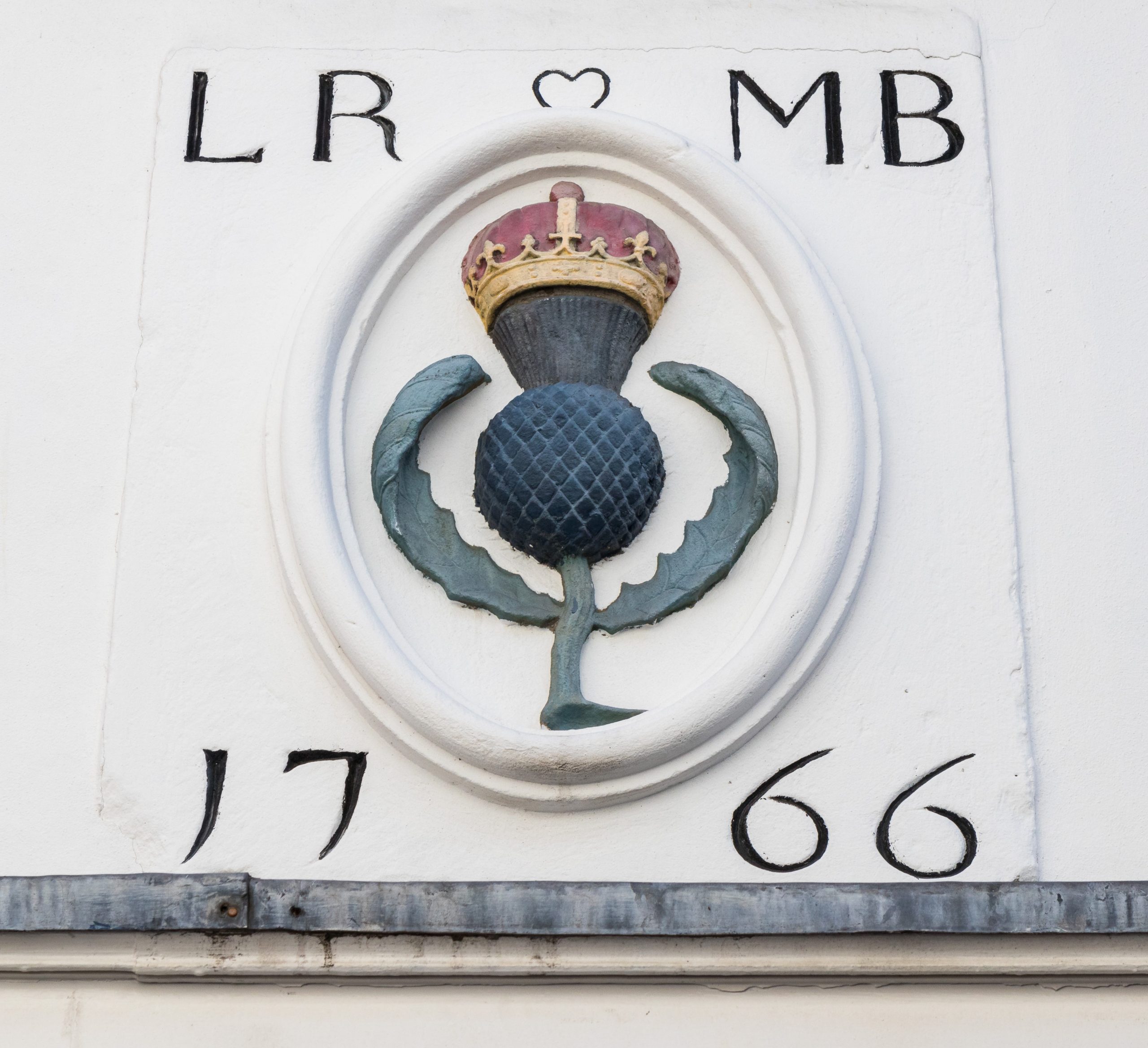
The initials LR and MB and the date 1766 surrounding a crest are sited high above the west facing gable in Fleshers’ Vennel. These are believed to be the initials of the married couple who either occupied the property, or had it built in 1766. The Vennel, which itself bears no plaque, led from the South Street where fleshers from out of town had to wait with their meat before entering the market near the kirk. Meat and other commodities were traded on prescribed days and rules were strictly enforced.

0 Comments
Close Menu