Old City Wall

On the north side of the narrow passageway that runs from Skinnergate to George Street a simple plaque indicates what is reputed to be the remains of the old city wall. There is debate on whether this claim is justified.    In the 19th century, plaques were sometimes put up based on less information than we would accept to-day. This is undoubtedly an old wall and may rest on the foundations of an even earlier wall which along with the lade, walls provided Perth’s main defence. According to Thomas Hay Marshall the city walls were re-built by Edward I. After the Battle of Falkirk in 1298 Edward I destroyed the walls and fortification in most other Scottish towns. He considered Perth so important that instead of destroying its fortifications, he ordered that the fortifications and the walls be re-built in the strongest possible manner.   (Marshall T. H. The History of Perth : From the Earliest Period to the Present Time, 1849. p25) The walls were in turn demolished by Robert the Bruce and then rebuilt by Edward III (1312-1377). The walls were seen as a defence against marauding highlanders but later demolished in a piece meal fashion. It was thought they had been…

0 Comments

Bridgend Toll House

This is one of three toll houses in Perth still remaining, although there used to be more. The others still existing are on the Edinburgh Road and on the Dundee Road. There used to be one on the Crieff Road, Balhousie Toll House, opposite Unity Terrace.  It was still there in the late 1970’s and had been converted into a house. It was later demolished along with an arcade of shops to make way for Toll House Gardens, part of the Fairfield redevelopment of Hunter’s Crescent.  There was also one at the end of New Row to catch incoming Glasgow Road traffic.  It is long gone.  There was also one as part of the old Tollbooth at the bottom of the High Street, before Smeaton’s Bridge, to catch river traffic.  There may well have been others. Now vacant, Bridgend Toll House contained J S Lees greengrocers for many years. It is now on the Buildings at Risk register with Historic Environment Scotland: J. S. Lees Grocers (Former), 1, West Bridge Street, Perth | Buildings at Risk Register The Bye Law on the notice board on the toll house sets out the rules for a locomotive (traction engine) crossing the bridge by…

0 Comments

Bridges of Perth – North Inch plaques

At the gateway to the Memorial Garden, on the North Inch, there are two plaques, one on each side of the entrance. The left -hand side shows present Perth Bridge, the right-hand side shows the Old Perth Bridge. By comparison the new bridge has fewer arches each of which is higher and wider than in the Old Bridge. The Old Bridge being lower and the arches narrower it is clear there was a greater possibility of debris brought down by the river in flood could form a dam, which would cause the bridge to collapse.

0 Comments

Perth Bridge

A plaque on the bridge itself at its western end states that the building of Perth Bridge was started in 1766, following a proposal tabled in 1760, by the 9th Earl of Kinnoull in his capacity as Lord Provost William Stewart. John Smeaton an accomplished architect was appointed. Smeaton had built a varied number of projects including harbours and lighthouses such as the Eddystone Lighthouse. The bridge is often called Smeaton's Bridge. The bridge opened in 1771. In 1869 pavements were added, outside the main supports of the bridge. On the north side of the westmost pillar are flood level marks dating back to 1814.

0 Comments

The Guildry Plaques on Tay Street

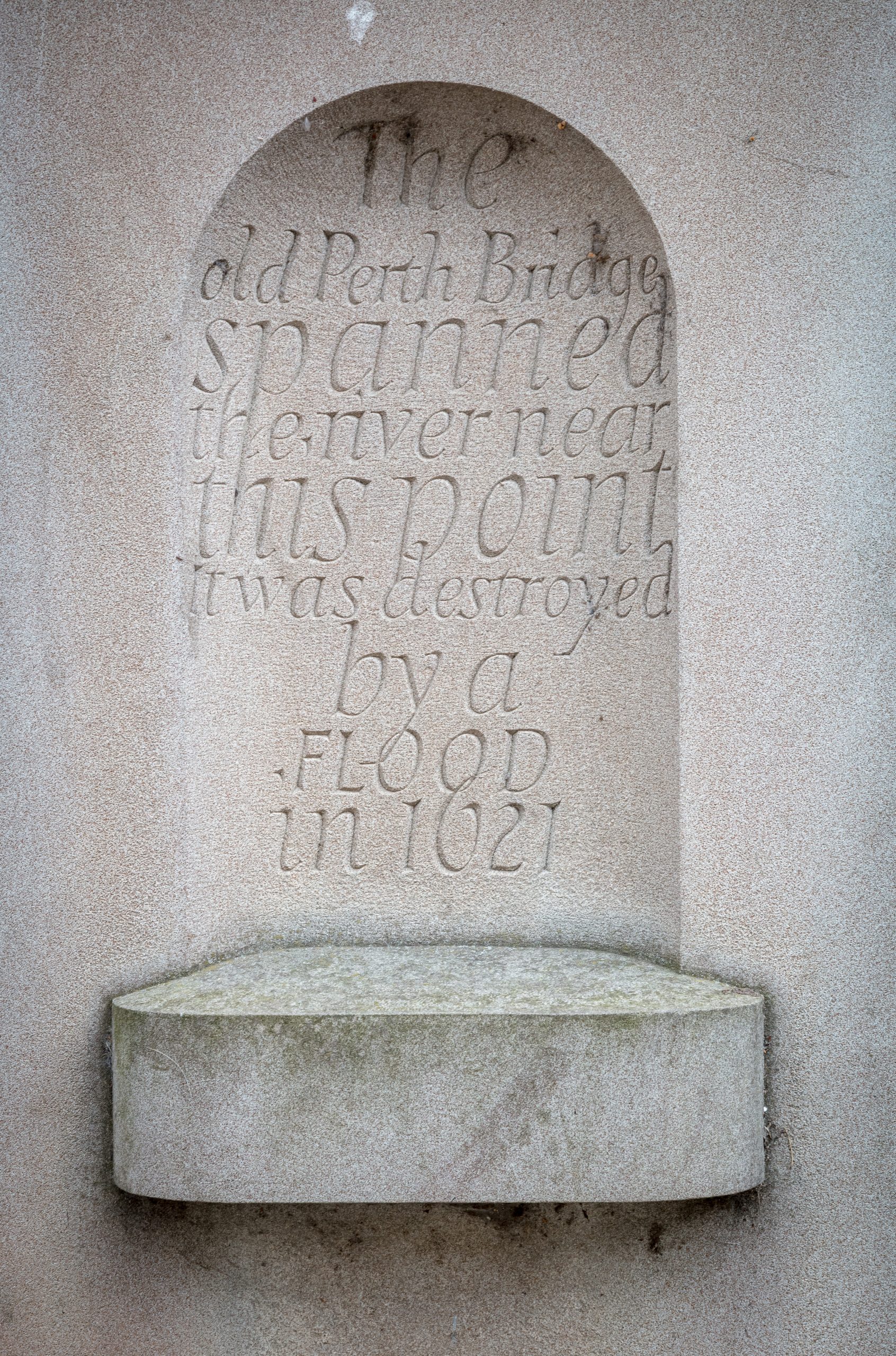
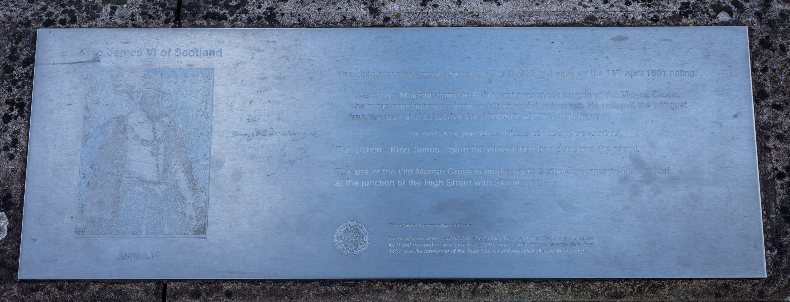
A series of six metal plaques are set on the top of the riverside flood wall on Tay Street, just north of the viewing platform. The plaques were funded by the Guildry Incorporation and describe various elements of the civic history of Perth. The first plaque records the visit of James VI in April 1601, before he became King of the United Kingdom. It records how much he was made welcome with ‘much wine’ and ‘a banquet’ but this was less than a year since an attempt had been made on his life while he resided at Gowrie House in August 1600. The second plaque deals with the previous bridges of Perth which were destroyed by the river and gives details of the current bridge. The plaque also outlines the extent of the Guildry’s responsibility for the bridges. Plaque number 3 sets out the reasons why Perth was built where it is, showing a view of Perth in 1665. Prior to the building of the Smeaton bridge, Perth was without a bridge between 1621 and 1771. Plaque 4 plaque describes the crossing the river by ferry. A gravestone in Kinnoull graveyard reflects the obvious importance of ferrymen. Although Perth currently retains…

0 Comments

West Port

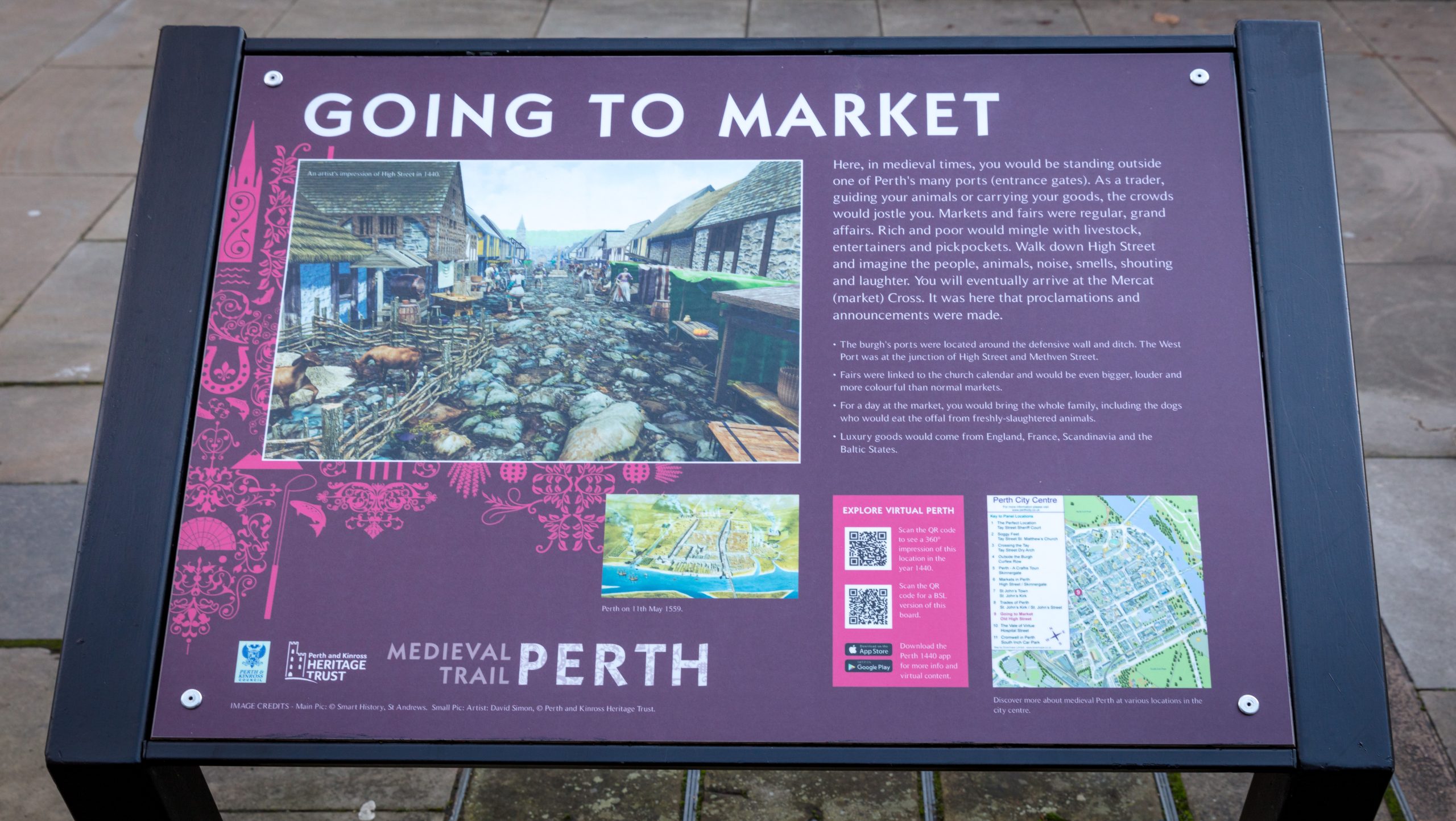
At the junction of High Street and South Methven Street was the old West Port, one of the many entrances to the city in medieval times. Traders would enter her to go to the many markets held within the walls. A modern information board entitled Going to Market (Panel 9 of the Perth Medieval Trail) can be found beside the newly redeveloped St Paul’s Church open-air space.

0 Comments

South Port marker in South Street

This ring of metal markers in South Street at its junction with South Methven Street marks the site of the South Street Port, one of the historic routes though the medieval town defences. From the South Street Port, one could proceed down Hospital Street, into St Leonard’s Street, down into Craigie, and on to Edinburgh. This route was blocked by the 19th-century insertion of the railway. The present County Place, York Place and Glasgow Road is a nineteenth-century insertion. The present Princes Street and Edinburgh Road is an 18th-century insertion. This is clearer on Rutherford’s map of 1774. The metal markers also indicate the site of The Necessary, a circular cast-iron public convenience built directly over the Canal Crescent branch of the town lade, which continued the line of the town’s defensive ditch as a stone culvert. The culvert still exists underground. The Necessary appears on a number of early photographs of Perth, but was taken away as an obstruction to traffic, and perhaps also as an offence to public decency. [information supplied by David Bowler, PSNS]

2 Comments
Close Menu